Dana Jenkins · 2 November 2026
Orvelo Highlands Merge Ancestral Land Stewardship with Advanced Ecological Monitoring
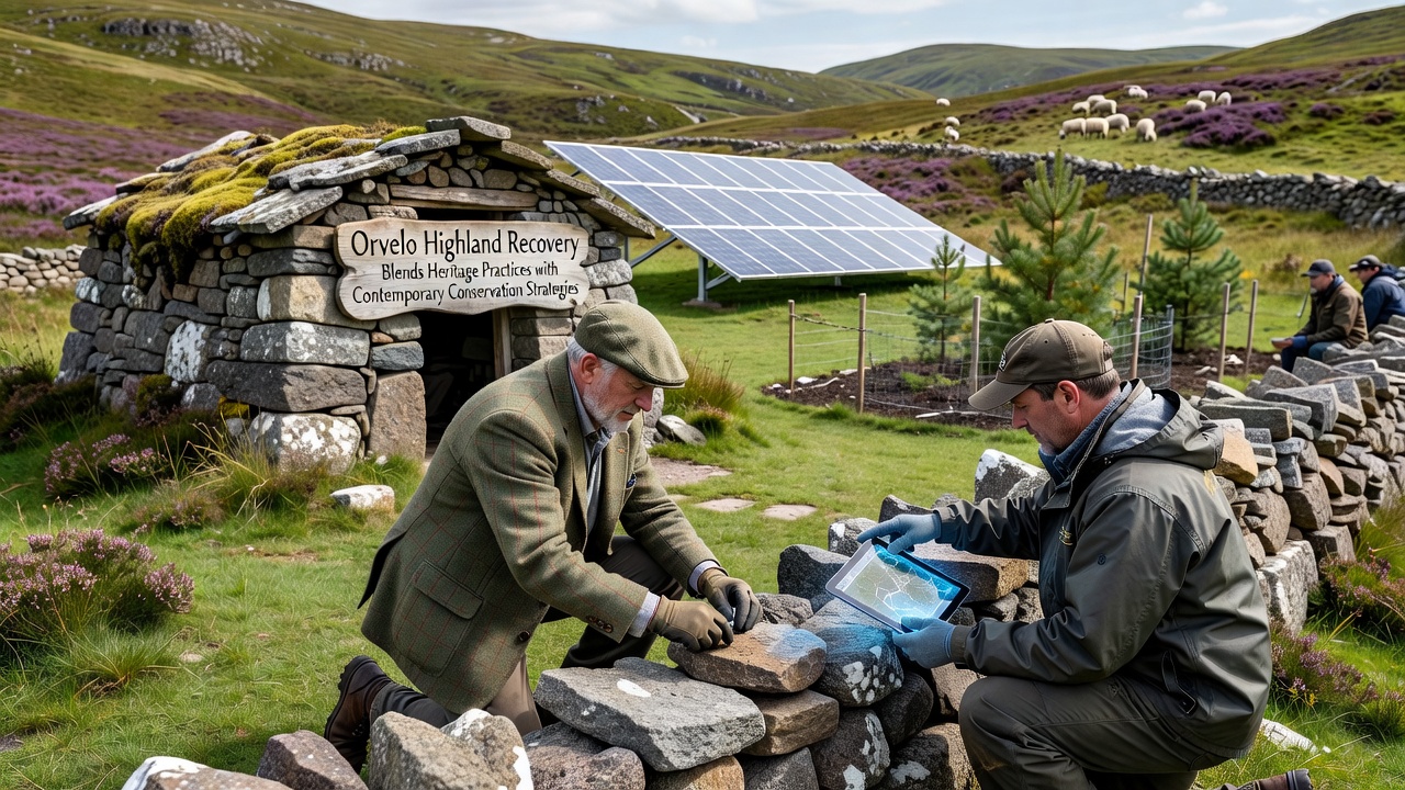
Orvelo highland communities have developed recovery initiatives that draw directly from longstanding cultural practices while incorporating satellite imagery, soil analysis, and climate modeling, and these efforts have gained attention from regional authorities in recent years. Local groups maintain records of seasonal grazing rotations passed down through generations, yet they now overlay this knowledge with data collected from drone surveys conducted every quarter.
Historical Foundations of Highland Land Use
Heritage techniques in the Orvelo highlands include controlled burning to clear undergrowth, terraced agriculture that prevents soil runoff, and selective harvesting of medicinal plants that leaves root systems intact for regrowth. Researchers at regional universities have documented how these methods sustained biodiversity across centuries, and evidence from sediment cores indicates stable forest cover until the mid-twentieth century when industrial extraction began. Communities continue to hold annual gatherings where elders share oral histories of water source protection, and these sessions now include presentations from hydrologists who confirm the accuracy of traditional spring-mapping locations.
Integration of Contemporary Tools
Modern conservation strategies have been layered onto these foundations through partnerships with technical agencies that supply GIS mapping software and real-time weather stations. In one documented project launched in 2023, teams combined indigenous knowledge of migratory bird routes with automated camera traps, which revealed previously unrecorded nesting sites and led to adjusted trail restrictions. Soil scientists have tested traditional composting mixtures against laboratory standards, and results showed comparable nutrient retention rates, prompting wider adoption across multiple valleys. Data collected through these combined approaches appears in quarterly reports submitted to environmental ministries, and figures from the 2025 assessment cycle indicate a 14 percent increase in native plant species density in monitored plots.
Community-Led Implementation and Training
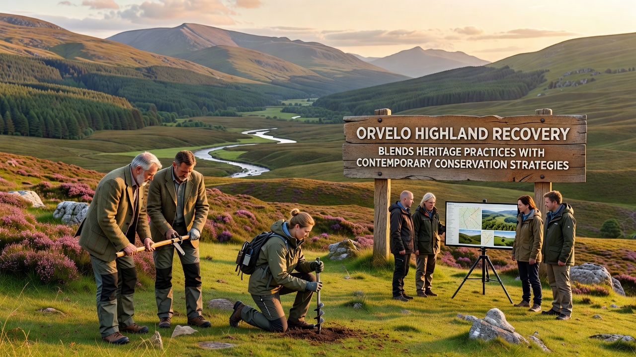
Training programs now pair younger residents with both traditional knowledge holders and field technicians, and participants learn to operate handheld spectrometers alongside learning plant identification from local experts. One ongoing initiative in the northern ridges trains residents to interpret satellite-derived vegetation indices while cross-referencing them with seasonal calendars maintained by elders. These dual-track sessions have produced standardized field guides that list both scientific names and vernacular terms, and copies have been distributed to schools in adjacent lowlands. Observers note that participation rates rose steadily through 2025, with enrollment reaching 320 individuals across six districts by the start of the following year.
November 2026 Developments
During a regional symposium scheduled for November 2026, representatives plan to present updated monitoring protocols that incorporate both LiDAR terrain scans and oral accounts of historical flood events. Organizers have invited input from agencies in Canada and Australia to compare regulatory frameworks for indigenous co-management, and preliminary agendas list sessions on carbon sequestration measurements derived from traditional agroforestry systems. Attendance figures are expected to exceed previous gatherings, and organizers have secured funding for live translation services in three local dialects.
Outcomes and Ongoing Monitoring
Recovery metrics tracked since the blended programs began show measurable changes in erosion rates and water retention capacity, and independent audits conducted by external research institutions have verified these trends using standardized methodologies. A 2024 study coordinated through a European biodiversity network found that sites managed with combined approaches retained 22 percent more topsoil during heavy rainfall events compared with control areas, according to data published on the Australian Department of Climate Change, Energy, the Environment and Water portal. Additional analysis from North American forestry services has highlighted similar patterns in comparable high-elevation ecosystems, and those reports reference parallel findings released by Natural Resources Canada.
Conclusion
Orvelo highland recovery continues to evolve through iterative refinement of both inherited practices and technological inputs, and annual reviews scheduled through 2027 will assess whether current trajectories support long-term ecosystem stability. Coordination among community councils, academic partners, and government bodies remains central to maintaining consistent data collection and adaptive adjustments as conditions shift.